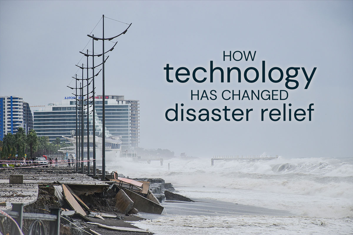
Like most Texans, we at I.T. Roadmap have friends and family in southeast Texas who have been affected by Hurricane Harvey. In these times when technology can be used to edit the human genome and show us images of the rings of Saturn, it almost seems strange that there’s nothing we can do to change the route of a storm barreling toward us to dump trillions of gallons of water and wreak destruction. While we are all about as vulnerable to disaster as we ever were—whether earthquakes, tornadoes, fires, or floods—technology has changed the way we respond to and provide relief.
Open-Source and Open Data
If you’ve worked with us, you’ll know we love open-source platforms and open data. If you watched the news this last week, you’ll know that Houston has a bayou system intended to collect and drain water. Throughout the bayous, rain gauges are installed to sense when water is overflowing, and a local open-data resource Houston has a local open-data resource, the Houston Flood Warning System, which tracks when flood gauges overflow. Many Houston residents were able to rely on this website to see if the water in their area was rising to a dangerous level.
“Efficiency comes when we open up our data, when we start collaborating more and when we put the beneficiary into the driver’s seat of providing us with data. We must focus on what factors are limiting our ability to respond in an efficient manner. We must improve collaboration. We must increase sharing of information.”
—Gisli Rafn Olafsson, author of The Crisis Leader: The Art of Leadership in Times of Crisis
Social Media
This week, we’ve watched video of an elderly lady being rescued on a jet-ski and young men pushing a car out of floodwaters, posted all over Twitter and Facebook. Social media has been a powerful resource for generating empathy, rallying resources, identifying needs (whether for supplies or for a rescue), and delivering supplies.
Snapchat turned out to be an especially helpful resource this past week, as users kept tabs on flooding and damage across Houston using “Snap Maps” that overlay public Snaps onto a map. Click on a Snap in a particular neighborhood, and you can see if someone posted the water levels in houses there over the past 24 hours.
No doubt you’ve seen countless fundraising efforts on Facebook and Twitter in the past week. (Snapchat also offered an opportunity to donate to hurricane relief efforts.) In so many disasters, we’ve seen relief workers awash with donated supplies that don’t match local needs—like mountains of discarded high heels and stuffed animals. Now social media lets people donate exactly what people need with Amazon Wishlists and Gofundme or Youcaring campaigns.
Of course, social media is not without its problems, as many people shared incorrect contact information for emergency agencies or sensational but fake stories, like the Photoshopped shark swimming alongside a boat. And the fact is that no two disasters are alike; mistakes will always happen. But both charities and government agencies have shown remarkable adaptability and a willingness to embrace data and new technologies. FEMA developed an app to broadcast information for disaster preparedness, and employees search public Facebook, Snapchat, and Twitter posts to gather intelligence about ongoing disasters.
Who knows what the future holds when it comes to natural disasters? Our prediction is that the sharing economy will become even more important to offer people shelter and help rebuilding, as we recognize that any one of us could lose everything. And if you do want to help with the relief effort in Houston, here are a few organizations that could use your help:
- Portlight – a disaster response 501(c)(3) focused on people with disabilities
- Houston Food Bank and the Food Bank of Corpus Christi
- Catholic Charities of the Archdiocese of Galveston-Houston – working to provide shelter, food, and medication assistance for those who have lost everything


